Rattle snake peak

Rattle Snake peak

I have to admit, this trail name made me though I would see some rattle snake on it when the first time I heard about it, however that’s not the reason why it’s named like so. But now it triggers the memory of struggling up to the peak and the exhausting feeling at the end, together with the horror from the sting of yucca full grown along the trail. I have to say, the name matches the trail!
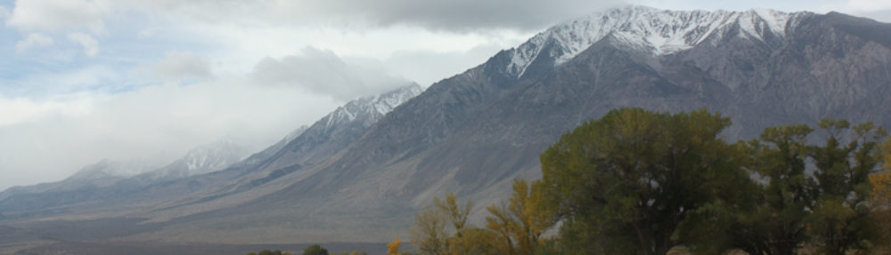
The trail head was close to “bridge to no where”. It was a hot day, many cars went to the river side. It has 8 miles totally, with 4000 feet escalation gain.
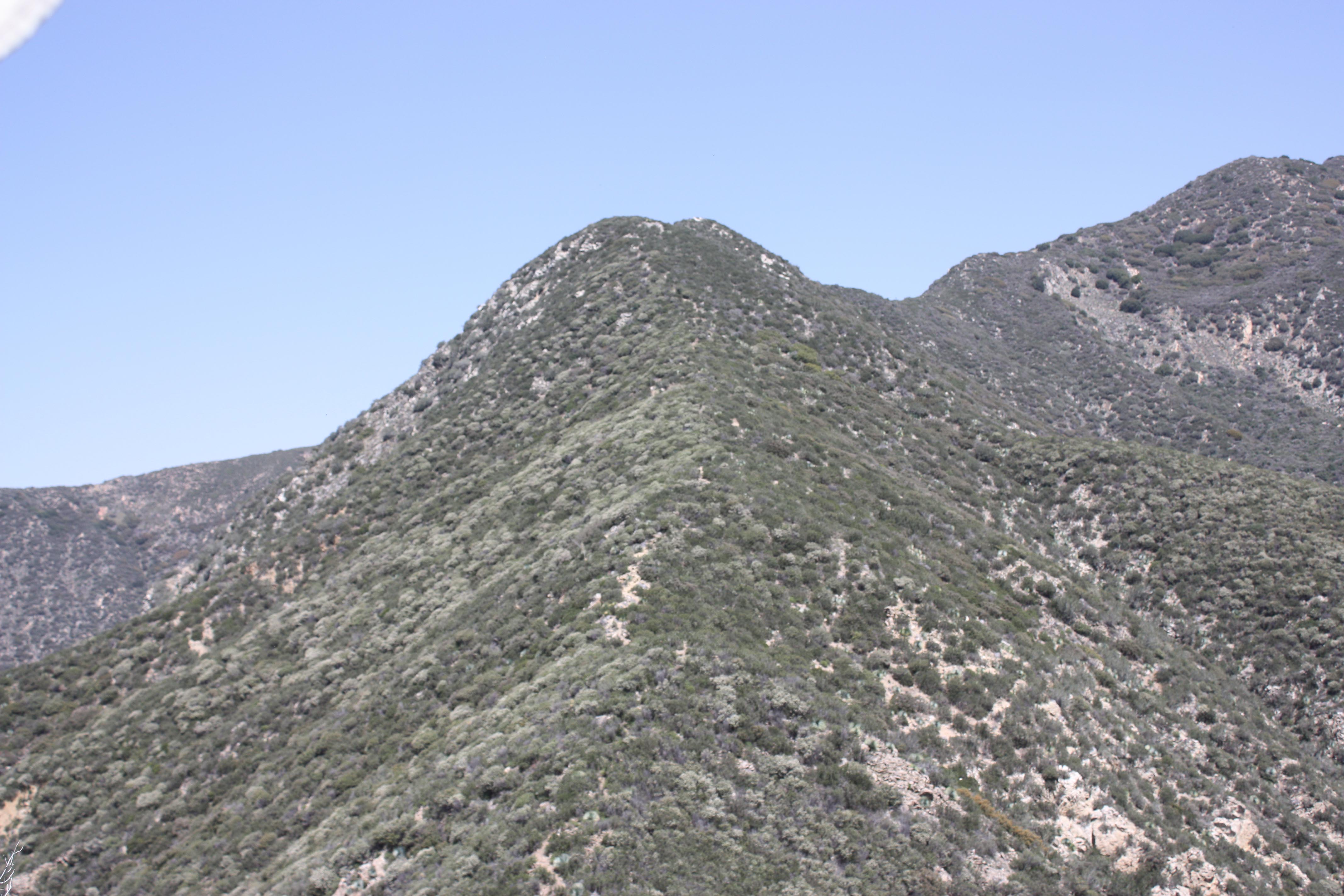
The first one and half mile was flat. then it got steep for the rest 2.5miles! Steep, slippery and yucca plants, this combination makes it one of the most difficult trail in San Gabriel mountains.

Wild flower at Rattle Snake Peak trail

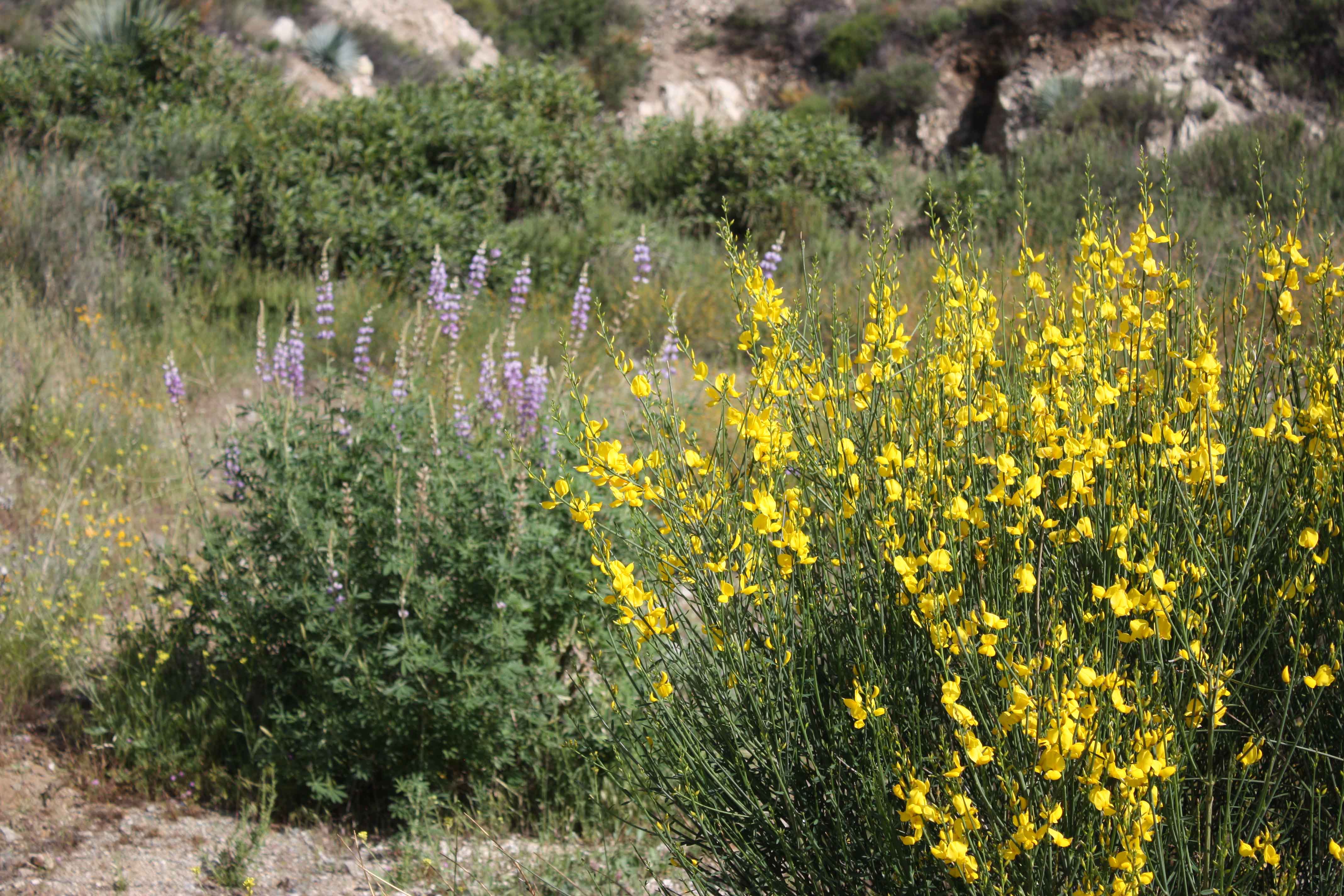
But there was also some rewards. Spanish Broom was decorating the area with bright yellow and patches of purple Lupin and ping Prickly Phlox were seen and there. What was most amazing I found here was a type of lizard living here, I think they are called “horned toad”. They have some great camouflage that I couldn’t be able to tell them from the sandy ground if they were not moving. They looks like from some other planet!


Sandstone peak

[singlepic id=127 w=320 h=240 float=left] The beautiful landscape of the Sandstone peak always reminds me the animation movie “sky castle” of Miyazaki Hayao. Huge boulders emerged out of the green hills, somehow makes me feel I am in a different world.

It was a long drive from the PCH. Shortly after we saw the Circle X Ranch a sign shows up at the entrance of a parking saying “Sandstone peak trail head”.

[singlepic id=115 w=320 h=240 float=left]The trails is called Mishe Mokwa trail. It’s a loop with several peaks next to it. without going up the peaks, it’s pretty flat except the first part. We first hiked up the Sandstone peak. Then Tri peak, big dome. The view from these peaks is very breath taking.

On the way back we saw the famous “balance rock” and “split rock”.

Hiking at Devils slide

[singlepic id=107 w=320 h=240 float=left]Stayed at Idylwild for the first night, to get used to the 5000FT escalation.

The next morning, we drove to the Ranger’s office and got a permit to go into the San Jacinto wildness.
It’s required to have the permit and later we did meet a ranger on the trail that checked out permission.

As soon as we started walking on the Deviles slide trail we noticed there’s snow everywhere. It was around 1 food deep snow. Some melted on the trail but still a lot left, especially the trail was in the shadow of the mountain. We put on the snow trac on our shoes so it was not so hard to walk.

When we reached to the saddle junction, the snow there were even more soft. We would need to wear snow shoes to walk around. I decided to return from there. We walked 5 miles and 2400FT escalation gain.
devilslide-5172

Mammoth hiking Aug. 2011 (3)

[singlepic id=104 w=320 h=240 float=left]

Duck path trail is a beautiful trail with many lakes. It starts from the cold water camp ground close to lake Marry. Last year we only walk a part of it, where i got many gorgeous water fall photos.
It’s 8 miles and a half hike, around 2000 feet elevation gain. On the way, there are lakes called Arrowhead, skeleton lake, Barney and Reds lake. At the end of the trail is the duck lake, very huge and the view is breath-taking. Barney lake is different from the others because of its color, not deep blue but green. At the higher part of the trail where close to the duck lake, you can see 3 lakes down there. Barney lake’s color reminds me sea with reef on the bottom at Hawaii.